Methane emissions measurement
Sensor-equipped UAVs quantify methane across a whole site. Supports OGMP 2.0 Level 4 (source-level quantification) and Level 5 (independent site-level measurement).
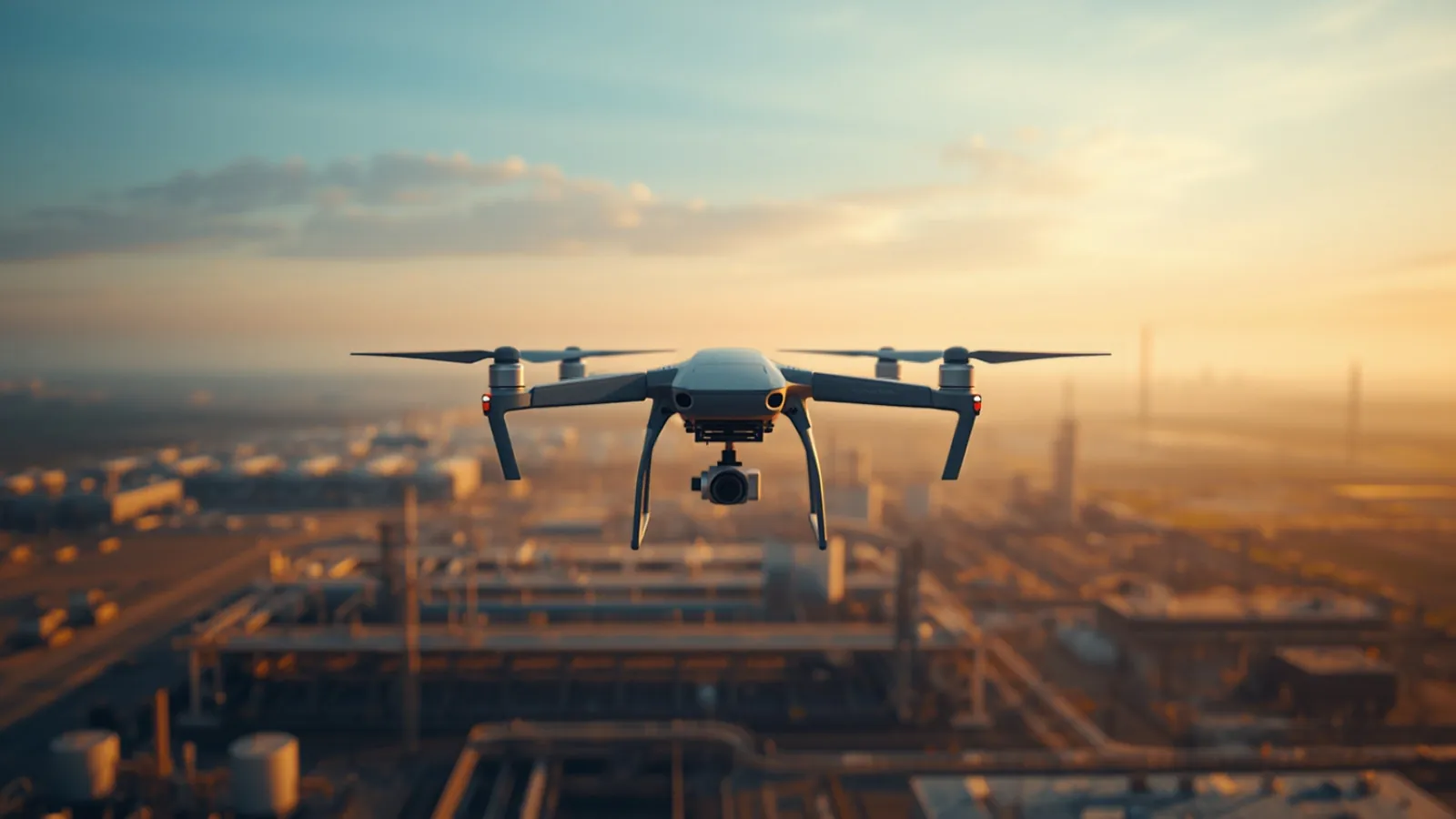
Sensor-equipped UAVs for methane measurement, air sampling and site mapping, engineered and supplied by Sontrova.
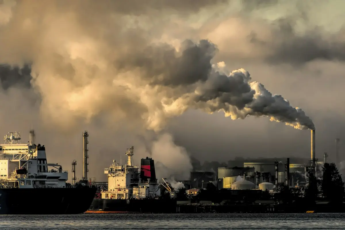
Sensor-equipped UAVs for methane measurement, air sampling and site mapping, engineered and supplied by Sontrova.
OGMP 2.0 Levels 4 and 5: site-level methane emissions measurement for oil, gas and energy operators. The same platforms sample air at height and survey sites that are hard or unsafe to reach on foot.
Sensor-equipped UAVs quantify methane across a whole site. Supports OGMP 2.0 Level 4 (source-level quantification) and Level 5 (independent site-level measurement).
Airborne sampling of gases and particulates at height and across hard-to-reach areas such as stacks, pits and large facilities.
Aerial survey, inspection and mapping of sites and contaminated areas, to plan work faster and more safely.
Level 4 quantifies methane emissions at source level; Level 5 adds independent site-level measurement to reconcile them. Our UAV systems support both.

Tell us about your facility and what you need to achieve. We reply with the next steps and what we need from you to get started.
Prefer to call? +20 112 603 9378